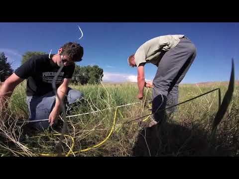
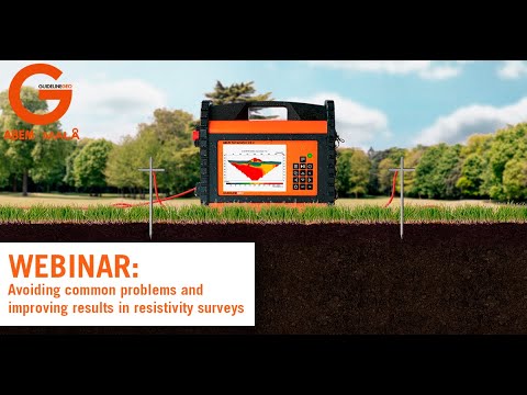
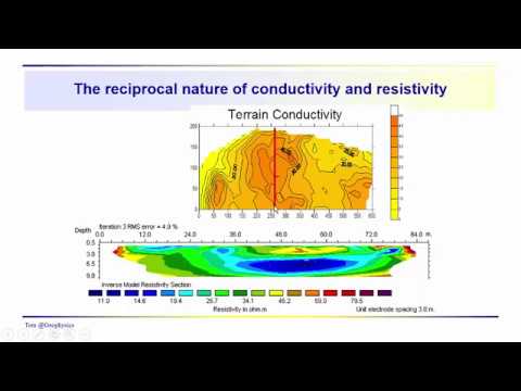
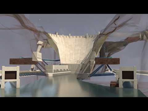
Electrical resistivity tomography (ERT) is a method for learning about the ground below our feet. It can help with finding pumpable groundwater, areas of pollution, hidden caves, and much much more. This animation overviews how ERT surveys work and what they are used for. Written by Dr. Sarah Kruse, University of South Florida and Beth Pratt-Sitaula, EarthScope Animated by Jenda Johnson, Earth Sciences Animated Narrated by Kirsten Arnell, EarthScope Consortium
- 13965Просмотров
- 8 месяцев назадОпубликованоEarthScope Consortium Science
Electrical Resistivity Tomography: Imaging Sub-Surface Structures
Похожее видео


Популярное
Новини