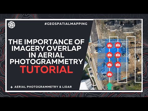
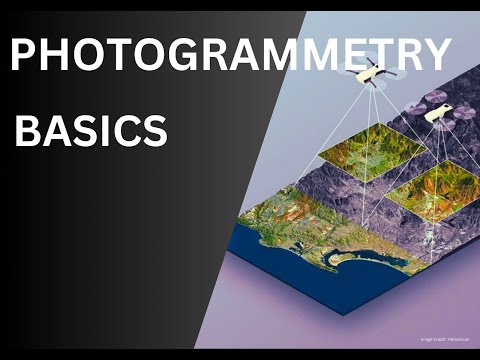
📸 Learn the secrets behind perfect drone mapping and 3D model accuracy! In this video, we break down the Types of Imagery Overlaps in Photogrammetry, including forward overlap, side overlap, and triple overlap. Discover how overlaps help create accurate 3D maps and why more overlap isn’t always better! 🧠 Understand: 1. What is image overlap in photogrammetry 2. Ideal overlap percentages (70%, 80%, etc.) 3. Common problems with too much overlap 4. Solutions and best practices for drone pilots 5. Real-world exceptions where high overlap is essential Whether you’re flying drones for land surveying, construction, agriculture, or GIS, mastering overlap is key to accuracy and efficiency. ✅ Watch till the end to learn about exceptions to the rule and get actionable tips! 📽️ Also, check out our related video: Basics of Photogrammetry – a perfect guide for beginners! 👉 🔔 Subscribe for more tutorials on drone surveying, photogrammetry, and GIS resources. 💬 Got questions or feedback? Leave a comment below. 👍 Like | 🔁 Share | 🔔 Subscribe #Photogrammetry #DroneMapping #OverlapInPhotogrammetry #GISBasics #DroneSurveyTips #AerialSurveying #MappingTutorial ------------------------------------------------------------------------------------------------------------- Welcome to GIS Resources, your ultimate destination for everything related to Geographic Information Systems (GIS), Remote Sensing, GPS/GNSS, Surveying, LiDAR, Photogrammetry and much more. Whether you're a seasoned professional or just starting your journey in the Geospatial domain, our channel provides valuable insights, tutorials, and the latest news in the world of geospatial technology. Subscribe to stay updated with the latest trends, best practices, and innovations in the geospatial field. Let's unlock the power of location together! Website: Facebook: LinkedIn: Twitter: @GISResources
- 2063Просмотров
- 6 месяцев назадОпубликованоGIS Resources
Types of Overlap in Photogrammetry Explained
Похожее видео


Популярное
Новини