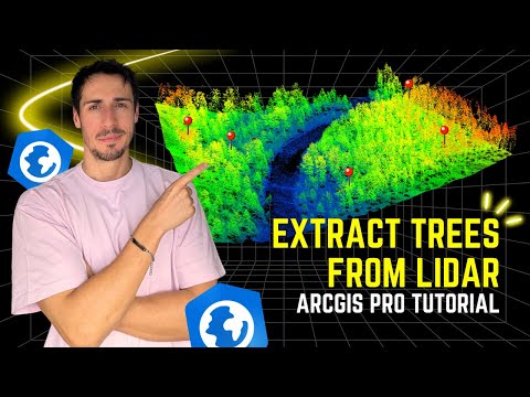
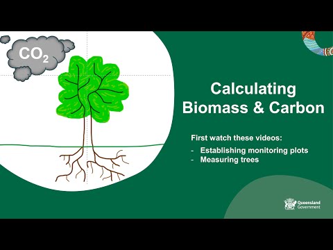
Have you ever wondered how much carbon a single tree can store? 🌳 In this tutorial, I’ll guide you through a complete workflow to estimate the aboveground biomass (AGB) and carbon content of trees using LiDAR data and QGIS. We’ll go step by step — from preparing the data to applying species-specific equations and visualizing the results directly on your map. You’ll learn how to: ✅ Estimate DBH (Diameter at Breast Height) from tree height using Weibull’s equation. ✅ Calculate Aboveground Biomass (AGB) with the formula proposed by Chave (2014). ✅ Convert biomass to carbon using IPCC reference values (47%). ✅ Visualize everything in QGIS with clear color ramps and intuitive symbology. ⏱️Timestamps 00:00 - Intro 00:30 - Excel File (Formulas) 04:02 - QGIS (DBH, AGB and CARBON) 12:36 - Outro ⚠️ Note: All values used here are examples — if you’re working with your own study area, make sure to use species- and region-specific parameters to obtain realistic results. 📂 Resources and Data Used: You can download the Excel file and datasets shown in this video here 👇 🔗 🎥 Watch the previous video to learn how to extract trees from LiDAR data and prepare your shapefile: 👉 Like, share, and subscribe for more insightful tutorials and GIS tips! 📈🔍🌟 🌍Socials 🔸LinkedIn: / rubenduarte94 🔸GitHub: 🔸Instagram: / rubenduarte94 ____________________ Music: Motivational Upbeat Corporate by RinkevichMusic / rinkevichmusic Video Link: ____________________
- 2404Просмотров
- 1 месяц назадОпубликованоMaps by RGD
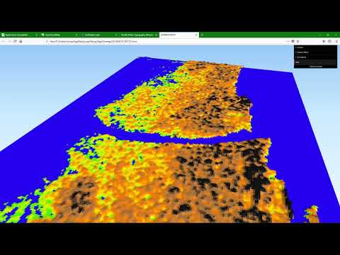
ESTIMATE ABOVE-GROUND BIOMASS (AGB) AND CARBON (C) FROM TREES IN QGIS USING LIDAR DATA
Похожее видео

Популярное
Новини