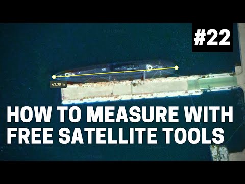
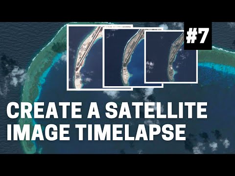
This tutorial is part 24 of the OSINT At Home series. The tutorial covers the basics of an OSINT investigation that start with analysing a photo, especially one which might be involved in human rights work or an investigation into conflict-related violence. In this video, we explore the exciting new historical satellite imagery feature now available in Google Earth’s online browser and mobile app! No longer limited to Google Earth Pro, this update opens up new possibilities for OSINT researchers, environmentalists, urban planners, and anyone tracking long-term global changes. We’ll walk you through how to access and use this tool for various types of research, the new ways you can share these findings and collaborate, and I’m going to showcase three key case studies, from deforestation in the Amazon to analysing damage in imagery from a natural disaster. *The case studies are:* How to use the timelapse and past satellite function in Google Earth by looking at deforestation in the Amazon: 00:01:47 How to find destruction of homes in and around Syria’s Aleppo using past satellite imagery on Google Earth: 00:05:02 How to annotate past satellite imagery and share your findings or make an easy presentation on Google Earth: 00:07:28 *What’s Covered in this Google Earth tutorial:* - How to access and use Google Earth’s historical satellite imagery tool - Case studies of real-world applications for environmental, conflict, and urban research - Collaboration features that let you share annotations and findings with colleagues or friends *Case Studies Featured:* 1. *Amazon Rainforest Deforestation* Track the rapid deforestation of the Amazon over the last two decades using freely available satellite imagery on Google Earth. Location: ,+Peru/@ , , , ,35y, , ,0r/data=CogBGlISTAolMHg5MWU4NjA1MzQyNzQ0Mzg1OjB4M2QzYzZkYzEzOTRhN2ZjNxlmPjH88bgLwCEMrOP4oRtPwCoRYW1hem9uIHJhaW5mb3Jlc3QYASABIiYKJAmYByR_nkAXwBHx65AVmv0XwBlNWelvMvtSwCGo1svmeRFTwCoGCAESABgBQgIIAToDCgEwSg0I____________ARAB 2. *Aleppo, Syria - Conflict and Destruction* See the devastation of Aleppo during the Syrian Civil War using satellite imagery. Link: @ , , , ,35y, , ,-0r/data=ChYqEAgBEgoyMDEyLTEyLTMwGAFCAggBOgMKATBKDQj___________8BEAA 3. *Fukushima, Japan - Tsunami and Aftermath* See how the 2011 tsunami impacted Fukushima and the ongoing recovery on satellite imagery. Link: @ , , ,5000d,35y,0h,0t,0r/data=CgRCAggBOgMKATBKDQj___________8BEAA The OSINT At Home series is useful for those looking to find digital breadcrumbs and pick up some methods of open source intelligence (OSINT), digital investigations and good old plain research. No matter who you are, or where you are in the world, you can follow these tutorials from home with publicly available information to answer questions such as who, what, where and when. If you enjoyed this video, don’t forget to like, subscribe, and hit the notification bell for more OSINT tutorials! #GoogleEarth #OSINT #SatelliteImagery #AmazonDeforestation #Syria #Fukushima #EnvironmentalResearch #GIS #googlemaps #geolocation
- 30159Просмотров
- 1 год назадОпубликованоBendobrown
OSINT At Home #25 - How to Use Google Earths New Historical Satellite Features
Похожее видео


Популярное
Новини